Note
Go to the end to download the full example code.
Python arithmetic#
This example demonstrates arithmetic operations using raster arithmetic on Rasters. See Support of pythonic operators for more details.
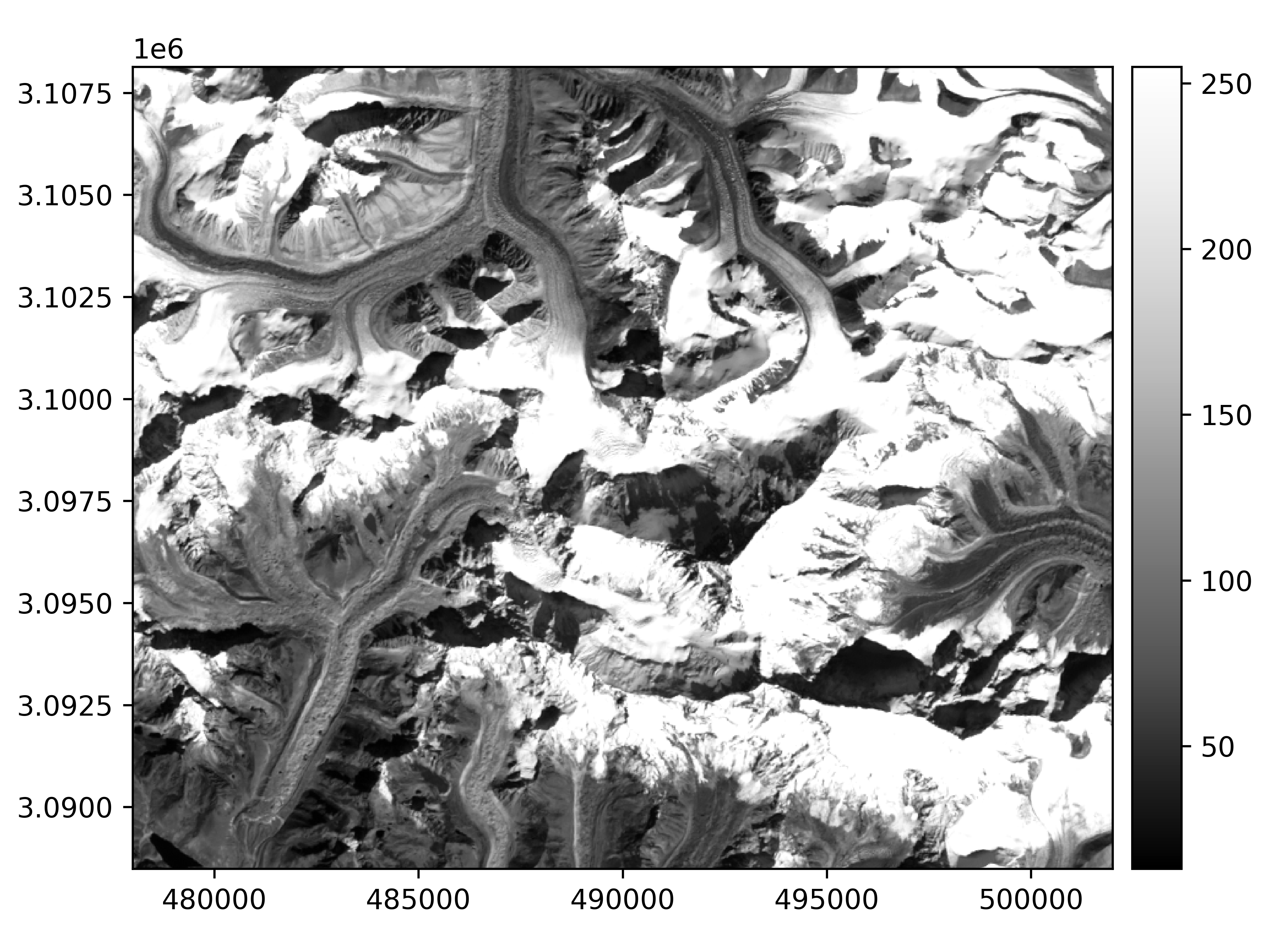
We open a raster
import geoutils as gu

filename_rast = gu.examples.get_path("everest_landsat_b4")
rast = gu.Raster(filename_rast)
rast
rast.plot(cmap="Greys_r")
Performing arithmetic operations implicitly loads the data.
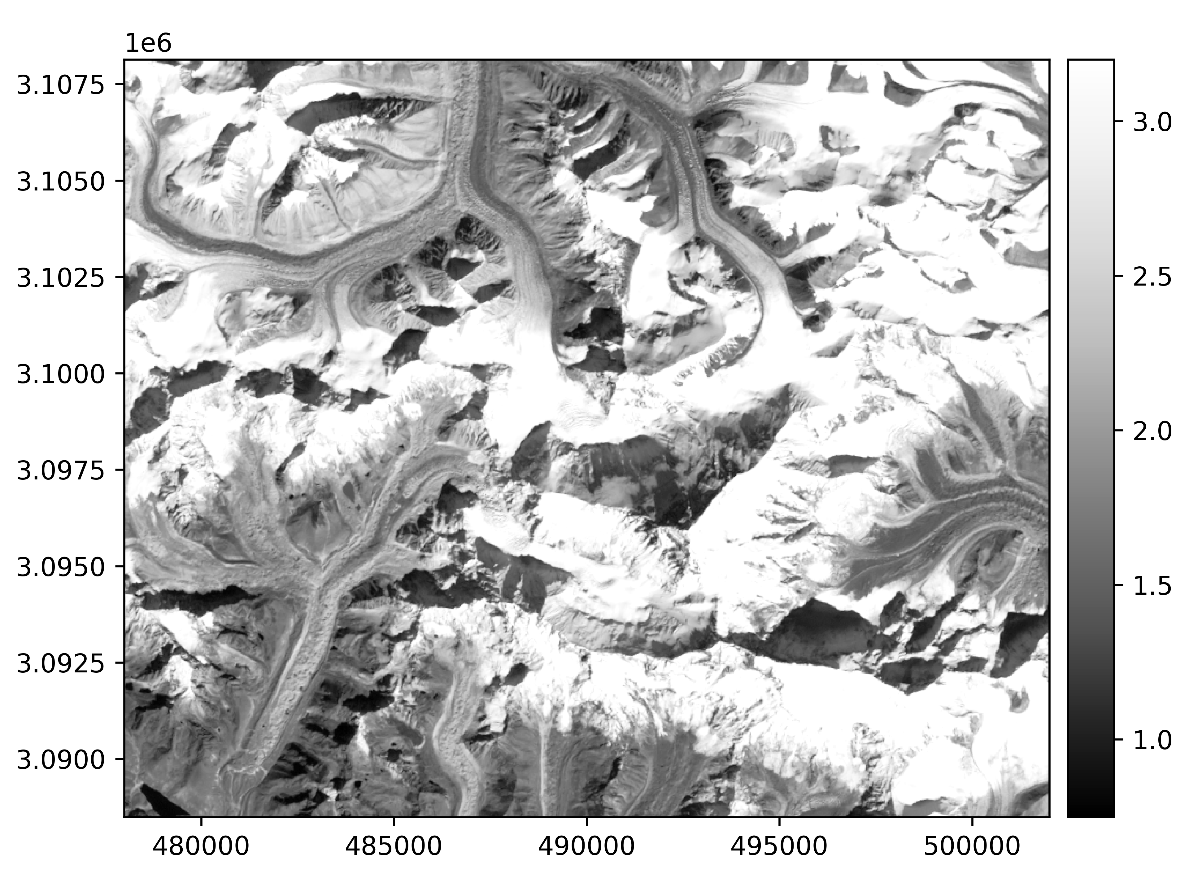
Important
Arithmetic operations cast to new dtypes automatically following NumPy coercion rules. If we had written (rast + 1),
this calculation would have conserved the original numpy.uint8 dtype of the raster.
Logical comparison operations will naturally cast to a boolean Raster.
Boolean Rasters support python logical operators to be combined together
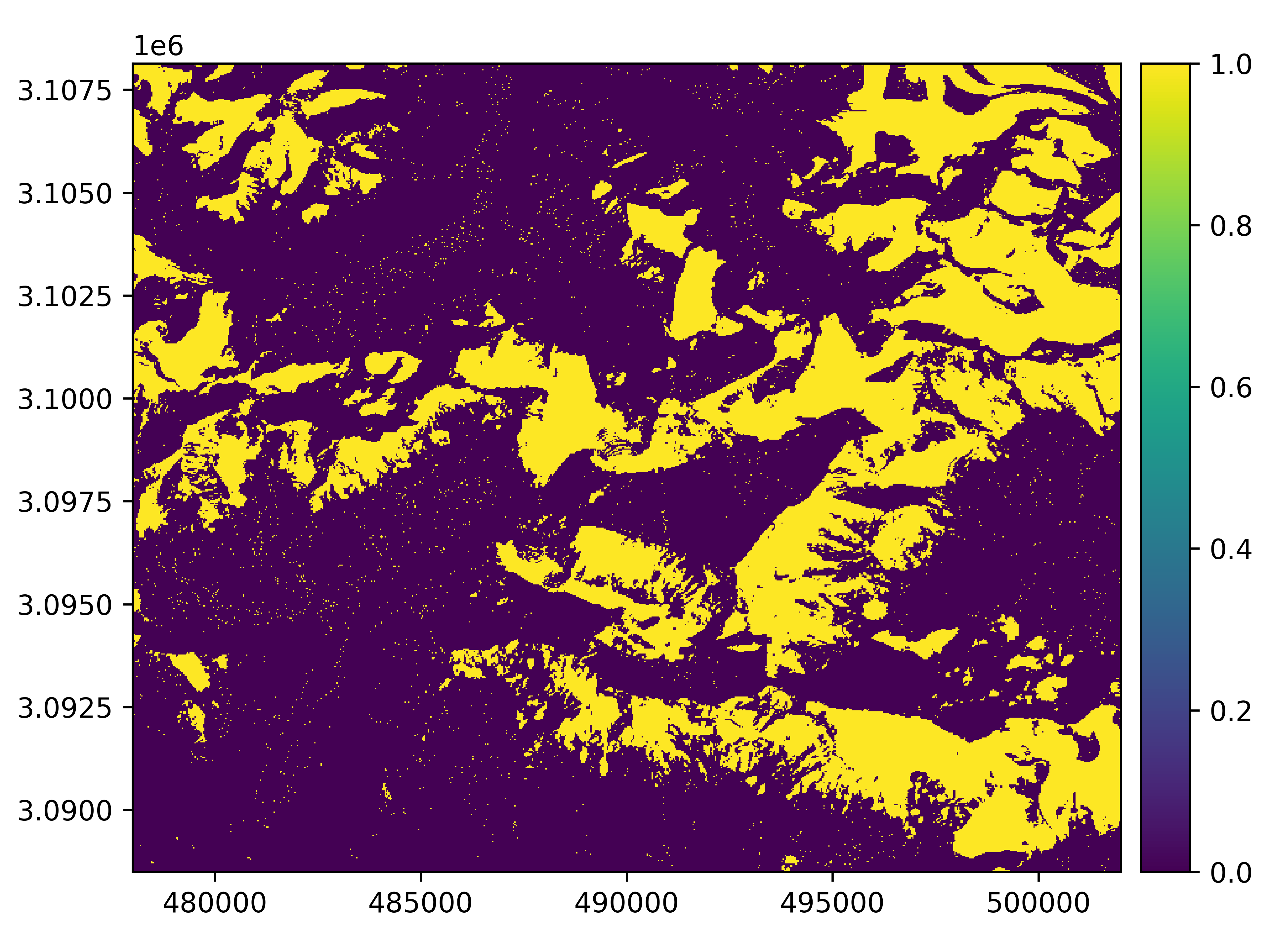
Finally, boolean Rasters can be used for indexing and assigning to a Rasters
Total running time of the script: (0 minutes 1.576 seconds)