Handling#
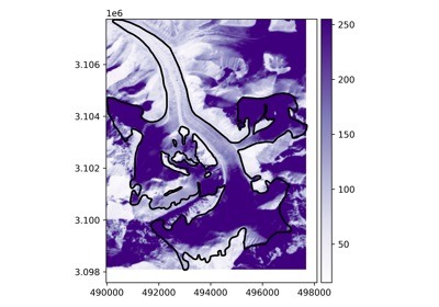
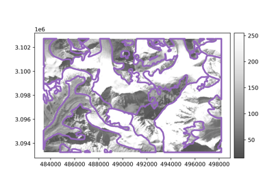
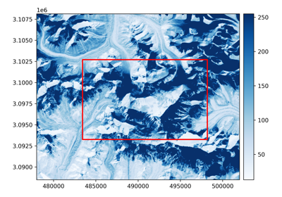
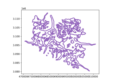
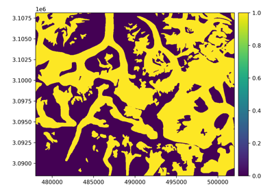
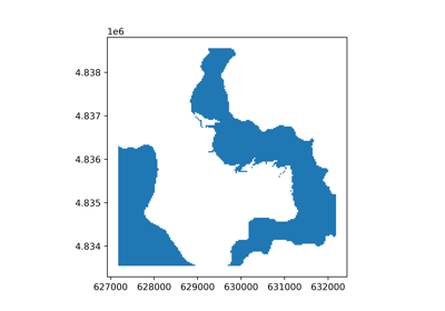
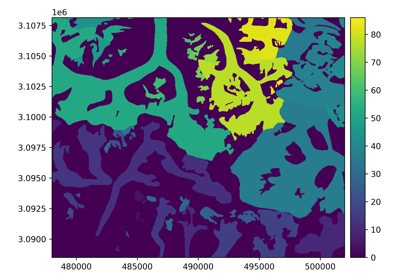
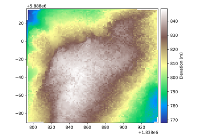
Examples about geotransformations (e.g., reprojecting, cropping), raster-vector interfacing (e.g., rasterizing, polygonizing, geometric mask) and raster-point interfacing (e.g., gridding points into a raster, interpolating or reducing a raster at points)
All of these methods support simply passing a reference to match (see Match-reference functionality).